
Sunrise paints the skies vivid blue and pink hues, just south of Hollister. Two farm houses sit amidst the lush green hills of spring.
During spring break '96, my friend Kinshuk and I decided to take a day off and go visit Pinnacles National Monument. We drove down to Hollister, and rode our bikes the rest of the way.
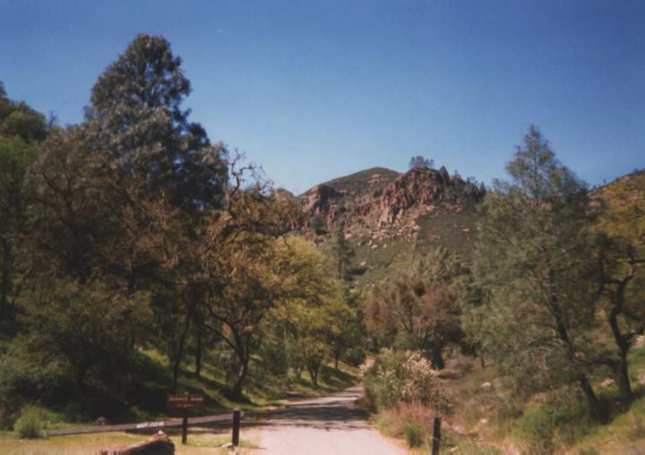
The park looked interesting, so we also drove down there later that week, and did some hiking through the caves and up the the peaks. Also see my Pinnacles hiking photos .
Some of the pictures (the ones with overcast skies) were taken en route to San Luis Obispo, during Spring break '97.
Sunrise paints the skies vivid blue and pink hues, just south of Hollister.
Two farm houses sit amidst the lush green hills of spring.
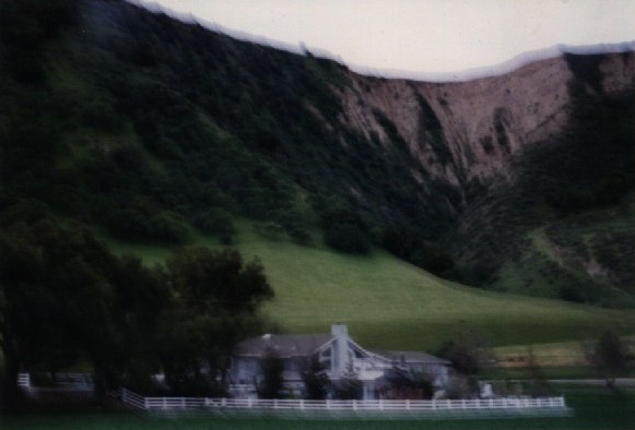
Another farm house along highway 25 south of Hollister, with the rugged
hills in the background. Unfortunately, I didn't hold the camera very
steady, so the image is blurred...
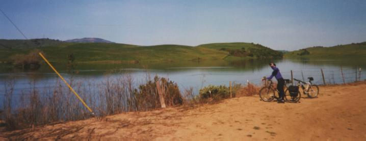
This is me, taking a break alongside the reservoir just outside of
Paicines, about 20 miles south of Hollister. Photo by Kinshuk Govil.

South of Paicines, highway 25 is bordered by vineyards and orchards.
Highway 25 continues its gentle rolling up the canyon.
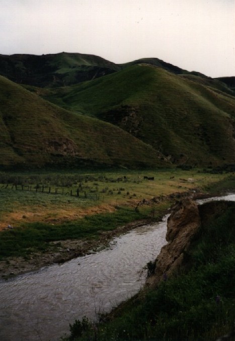
The canyon gets narrower and steeper as you head south. Here's a
picture of the San Benito river, from the bridge crossing. This
marks the end of the vineyards, and the start of the cow pastures.
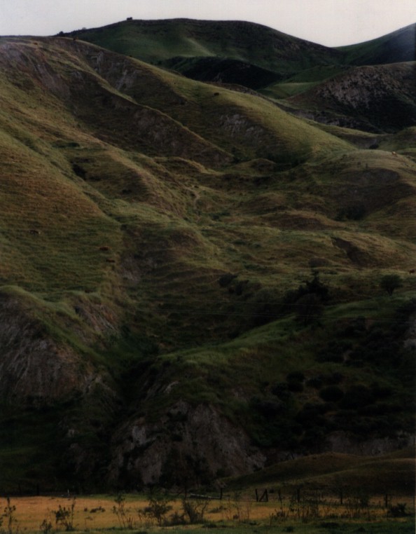
Evidently, some cows are pretty good mountain climbers. The two
dark spots in the upper middle of this picture are cows. The
"terraced" look of the hill is due to the cow paths.

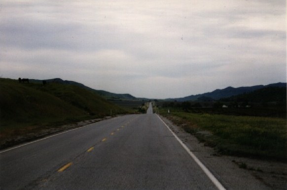
About a mile before the major 400-foot climb to pinnacles, you start
to get a feeling that the easy grades aren't going to last...
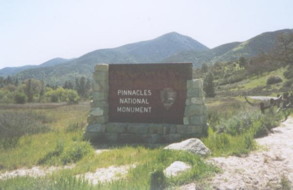
Welcome to Pinnacles.
This is the view of the pinnacles from the picnic area, where we
ate lunch. Photo by Kinshuk Govil.
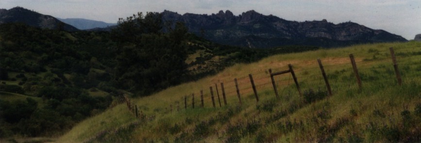
Continuing south on highway 25 from Pinnacles, a 300-foot climb is
rewarded by a view of the Pinnacles.

Highway 25 flattens for a few miles as it skirts the edge of this lake.
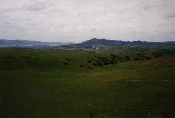
14 miles south of Pinnacles, Bitterwater Road climbs westward over a
ridge and down to King City. From the ridgetop, you get an expansive
view of the Salinas valley. This is looking northward, towards Chalone
Peak and the Pinnacles.
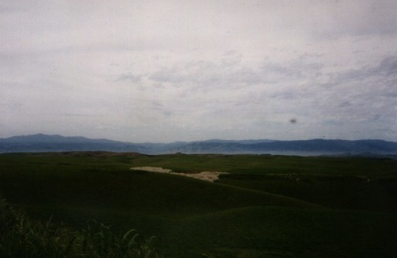
Looking west from the crest of Bitterwater, you see the Salinas valley.
The hills in the foreground hide King City, sitting below the fog.
The mountains of Sierra de Salinas lie on the other side of the valley.