 ++
++ 
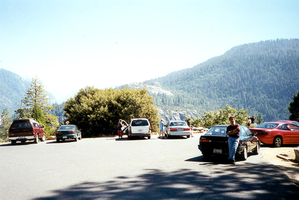
A parking lot as you first enter the Yosemite valley.
 ++
++ 
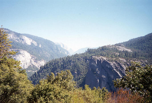
The view from that first lot, where you can see El Capitan to the left, and Halfdome to the right.
 ++
++ 
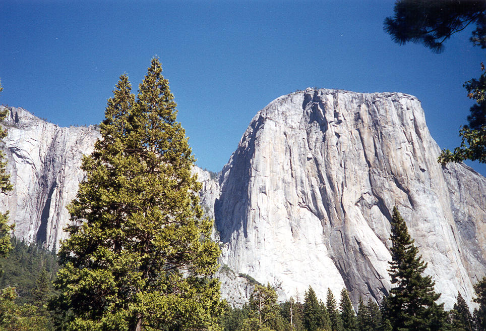
El Capitan, I believe.
 ++
++ 
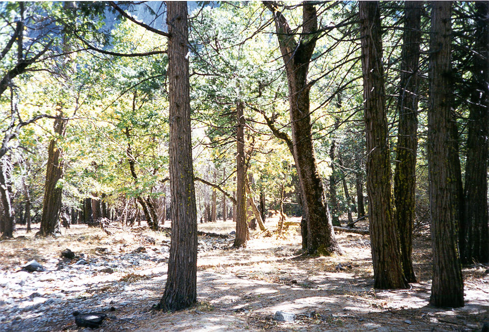
The valley floor alongside the road, where we stopped to take pictures of El Capitan.
 ++
++ 
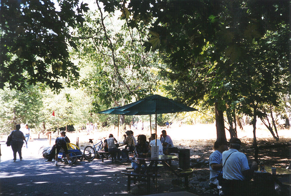
We stopped at Yosemite Village for lunch.
 ++
++ 
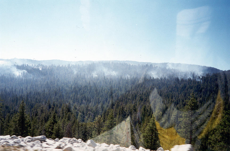
As we continued east on 120, we saw smoke from the many fires that were burning in Yosemite at the time.
 ++
++ 
A parking lot along 120 on the upper side of the valley.
 ++
++ 
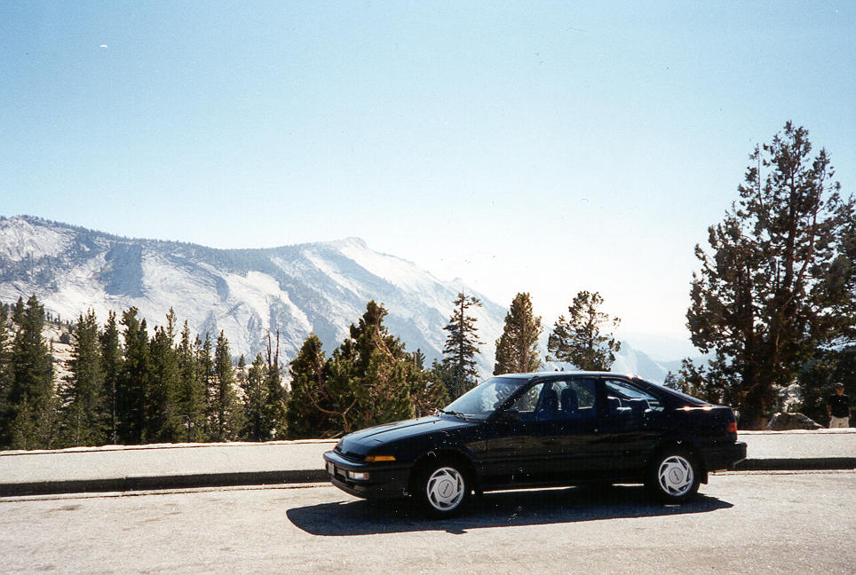
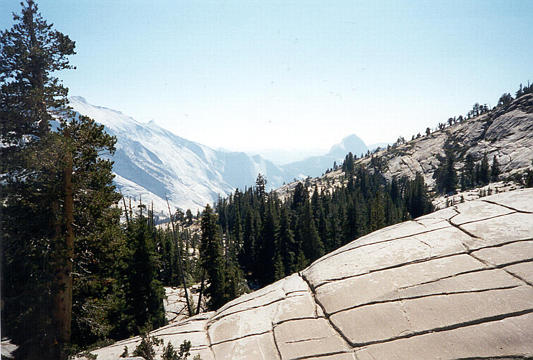
The view from the upper parking lot.
 ++
++ 
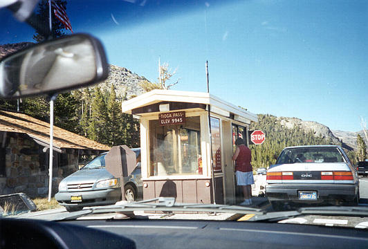
Tioga Pass, elevation 9945. The highest paved pass in California.
 ++
++ 
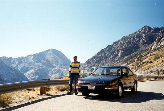
Me and Kinshuk, at a lake just beyond Tioga pass.
 ++
++ 
Kinshuk on the backside of 120, after leaving Yosemite.
 ++
++ 
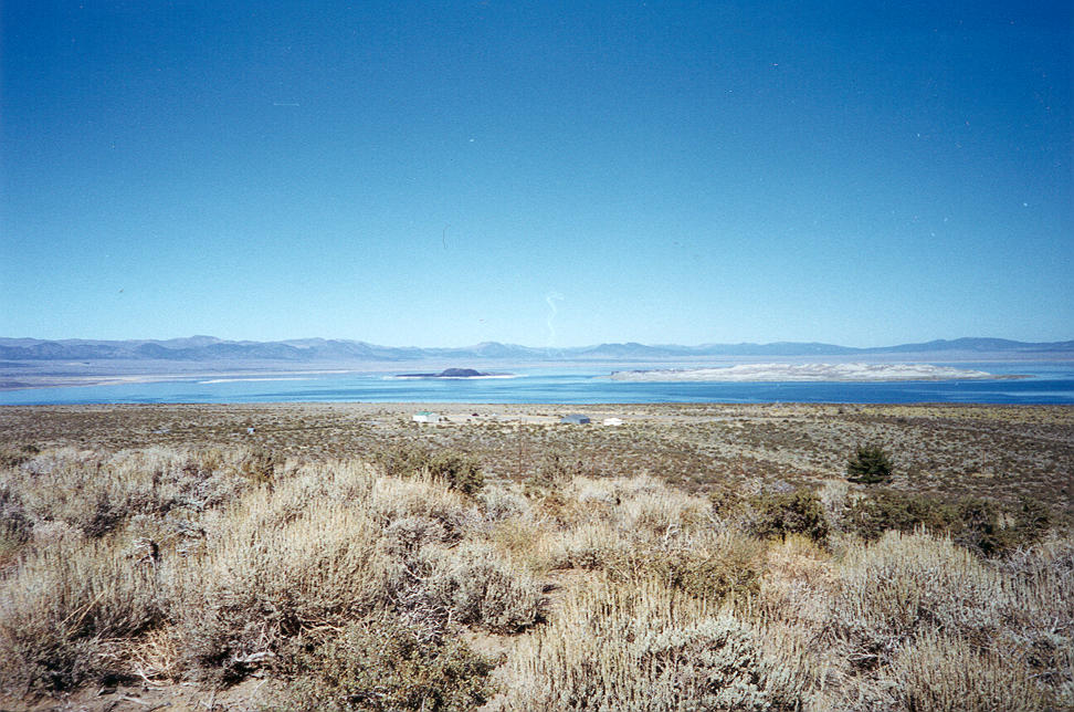
Mono Lake, at the intersection of 120 and 395.
 ++
++ 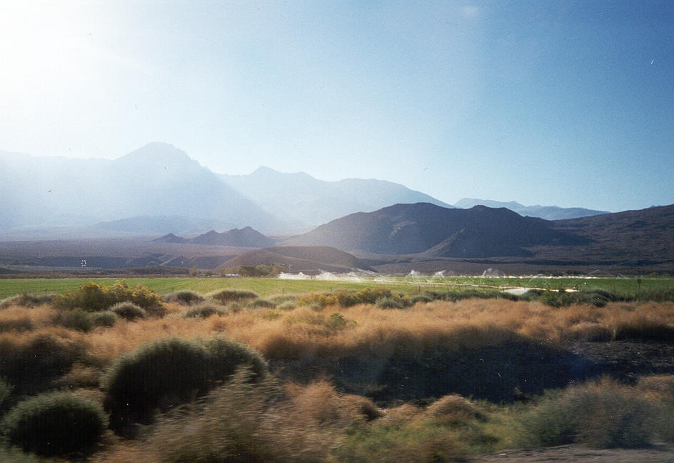
Out in the middle of nowhere, we were astonished to see this vast, perfect lawn. Apparently, this is where you find nice green sod in winter?
 ++
++ 
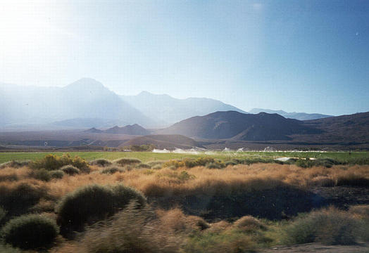
As the late afternoon rays cut through the fog, Mt. Whitney, the tallest peak in the lower 48 states, can be seen off in the distance, creating its own clouds.