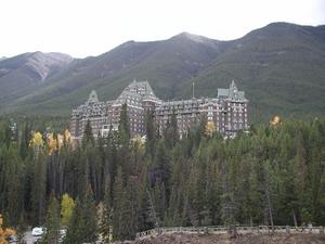
Banff Springs Hotel is quite impressive. We didn't stay there.
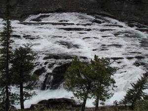
River near the hotel.
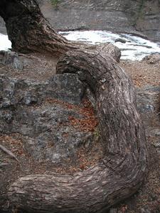
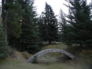
Not quite like the pine on Sentinel Dome, but still twisty and pretty.
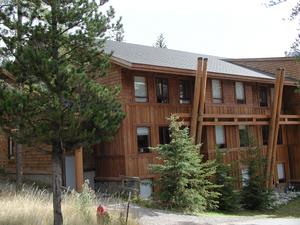
The Banff Center for Professional Development, where we stayed.
Art.
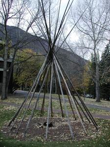
More art.
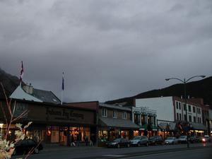
"Downtown" Banff
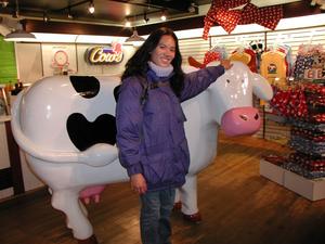
Leslie in the "Cow Store". We never quite determined why there was a store selling cow-themed items.
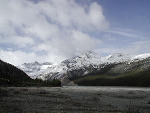
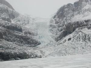
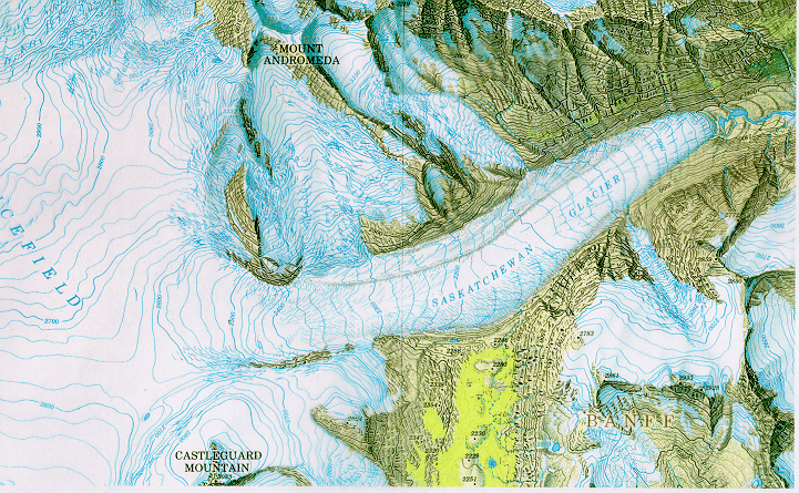
Near the start of the hike to the Saskatchewan Glacier. Here's a map of the glacier I stole somewhere. We made it to the point where the glacier makes a slight right turn.
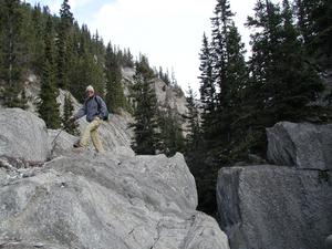
Crossing the stream. At this point the trail mostly disappears. We hiked on the stream bank for a while and then on the gravel and rocks on the outwash plain.
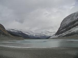
Lake at the tongue of the glacier. At this point we were walking on the glacial silt, which is soft and quite sticky. It was, however, more pleasant than walking on the rocks of the terminal moraine.
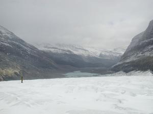
On the glacier. The lake from the previous picture is visible below.
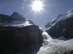
Tributary glacier. Unfortunately, it's hard to get the color of the ice right on the picture. Parts of this glacier were bright blue.
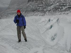
Natasha, looking cold in front of some crevasses. One problem with walking on this glacier is that there is no real destination. We walked about three miles up and turned around.
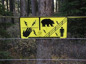
Previous weekend at Lake Louise. They have bears there. Serious bears. The campground has an electric fence around it to keep the grizzlies out.
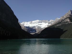
The weather was much nicer the previous weekend. Looking at lake Louise and the Victoria Glacier behind it.
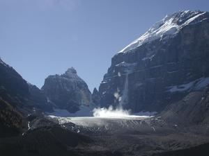
Small avalanche. A chunk of ice broke off from the hanging glacier and fell with lots of noise.
Victoria Glacier. The area with the pile of avalance debris on the right is called The Deathtrap. Short and to the point.
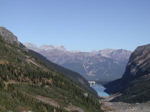
Looking down at the lake from the trail to the Plane of Six Glaciers. The lake's turquoise color comes from the minerals in the glacial melt that feeds it.
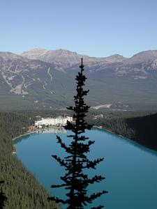
Chateau Lake Louise. I did not stay there either.
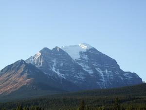
Mouth Temple has a small glacier on top. Pauly suggested that I climb it, but I chickened out.
I climbed Mount Fairview instead.
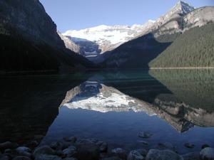
Reflections in the lake in the early morning.
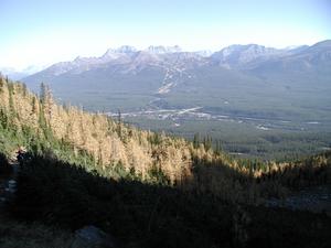
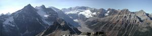
View of Bow Valley from the saddle between Mount Fairview and Saddleback. You can see the Lake Louise Ski Area on the other side.
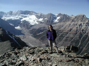
Summit of Fairview.
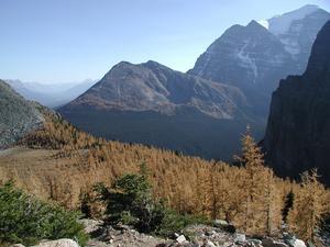
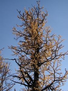
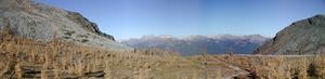
Larches were just turning yellow.
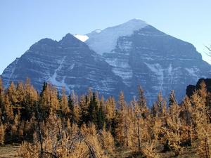
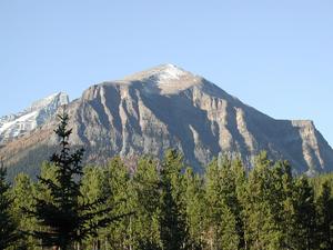
Mouth Temple again. I'll have to come back and climb this one at some point.
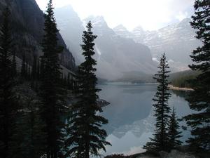
Moraine Lake and the Valley of Ten Peaks.
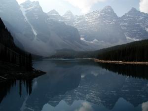
It was a little hazy, so these are the best reflections I could get.
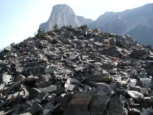
This big pile of rocks is called "The Rockpile" (short and to the point, again). I took a picture of it to put it on our database server, which is also called rockpile.