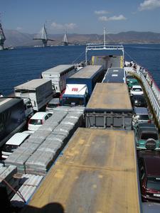
Crossing the Gulf on Corinth on a ferry. On the left is the partially completed Rio-Andirio bridge that will make this process much easier.
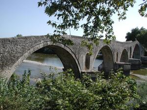
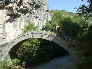
Restored packhorse bridge in Arta. Legend has it that to make the bridge withstand the current of the river the bridge-builder sealed his wife in the central pillar.
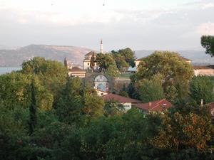
Mosque and nearby buildings in the Kastro of Ioannina.
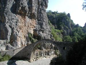
Passing the Kokoros bridge on the way to Kipi.
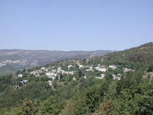
View of Koukouli from the Kipi-Koukouli trail.

Slate roof of a house in Kipi.
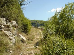
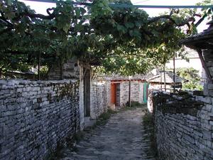
Kipi. Start of the path to Koukouli.
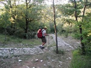
Trail from Koukouli to Vitsa.
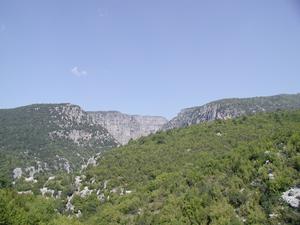
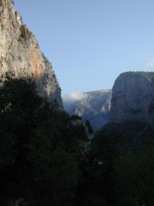
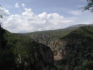
Vikos Gorge from far away.
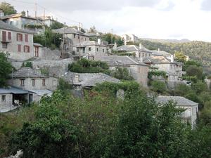
Vitsa.
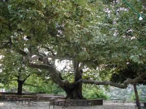
Plane tree on the Vitsa plateia. According to the locals this tree can be as much as 600 years old.
Kostadis descending from Monodendri into the Vikos Gorge.
View from about half way down the path.
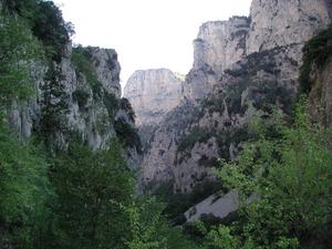
Inside the Vikos Gorge.
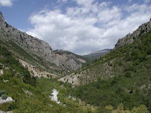
As you get closer to the springs of Voidomatis, the gorge opens up.
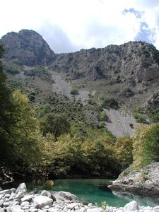
The springs of Voidomatis create a pretty impressive river.
Looking back into the gorge from the trail to Papingo.
A street in Papingo.
Towers of Papingo.
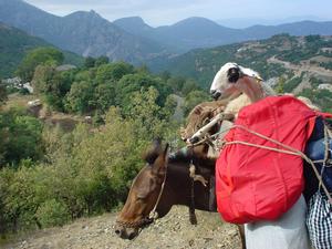
This sheep is coming down from the Astraka hut in style.
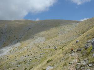
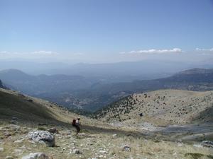
While we are hoofing it uphill.

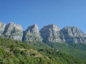
Looking up to the Astraka Col.
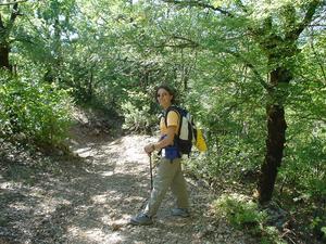
We started in the hardwood forest near Papingo, which changed to evergreens, then shrubs, until we finally climbed above treeline.
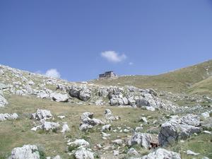
Astraka Col, with its hut, is in sight. The trail from Mikro Papingo is 6 km long, climbing almost 1000 meters.
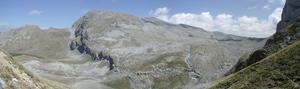
View northeast from the col. Click here for a quicktime movie showing the view from the col (10 Mb). The sound comes from the fairly strong wind on the col.
Kostadis descending back to Papingo, which is barely visible in the haze.
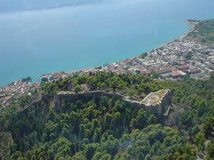
View of Nafpaktos from the air on the way home.
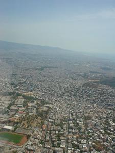
Sprawly Athens.