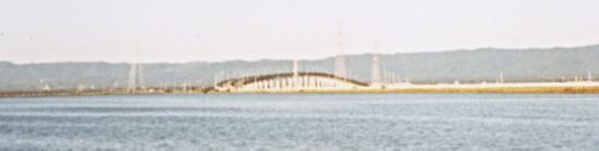
The Dumbarton Bridge, which has a bike lane. This picture was taken from Fremont, looking west to the peninsula.
The Dumbarton Bridge, which has a bike lane. This picture was
taken from Fremont, looking west to the peninsula.
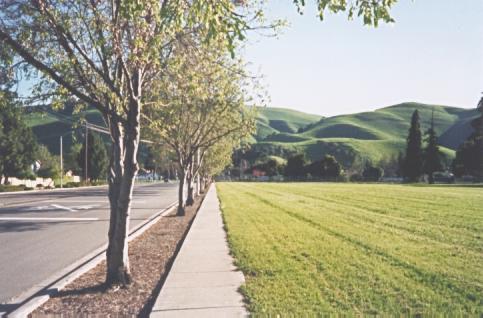
The hills east of Fremont. This is Walnut Ave., just past the
California School for the Deaf.
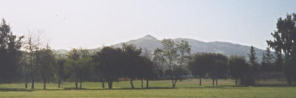
Mission and Monument Peaks. This is also from Walnut Ave.,
looking south.
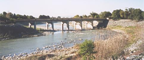
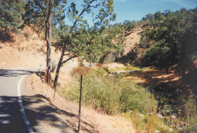
Old Canyon bridge over Alameda Creek in eastern Fremont.
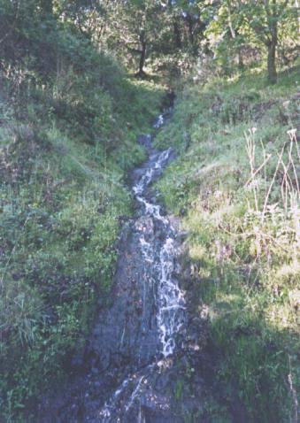
A creek cascades down the steep walls of Niles Canyon.
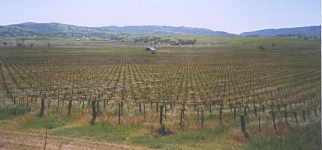
A vineyard and the hills southeast of Livermore.
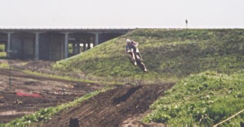
Northeast of Livermore (that's 580 in the background), I encountered
an offroad motorcycle track. I was mesmerized by the ability of the
riders to stay on their motorcycles as they flew over the jumps.
I almost felt like I should've had to pay admission to watch the race.
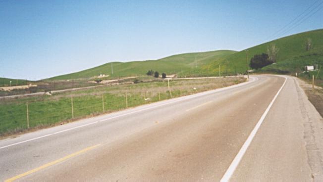
Altamont Pass.
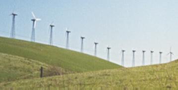
Rows of windmills line many ridge-tops along Altamont Pass.
There are more than 7000 windmills in the area.
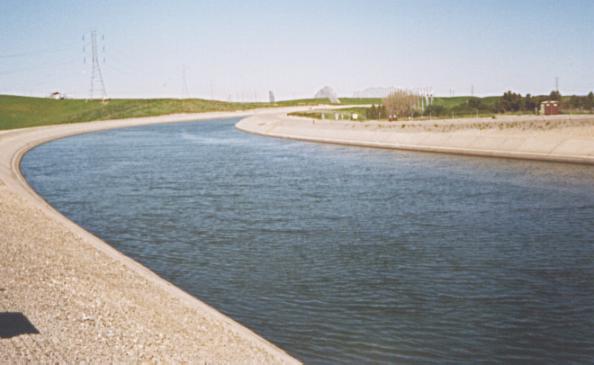
The California Aqueduct at Altamont Pass. In the background,
windmills stand in neat rows.
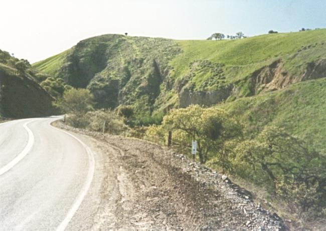
Just east of its summit, Corral Hollow gets fairly steep.
You can see the incline of the road cut into the hillside on the right.
This is Palomares Road, which runs between Niles Canyon and Dublin
Canyon. Most of its length is in a valley, with a few houses on both
ends, and ranches and a hill in the middle.
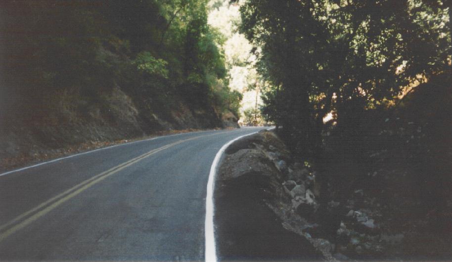
This is the upper end of Mines Road, just north of the Santa Clara
County border. As you head toward Livermore, the creek follows the
bottom of the canyon, while the road clings to the canyon wall,
several hundred feet up.