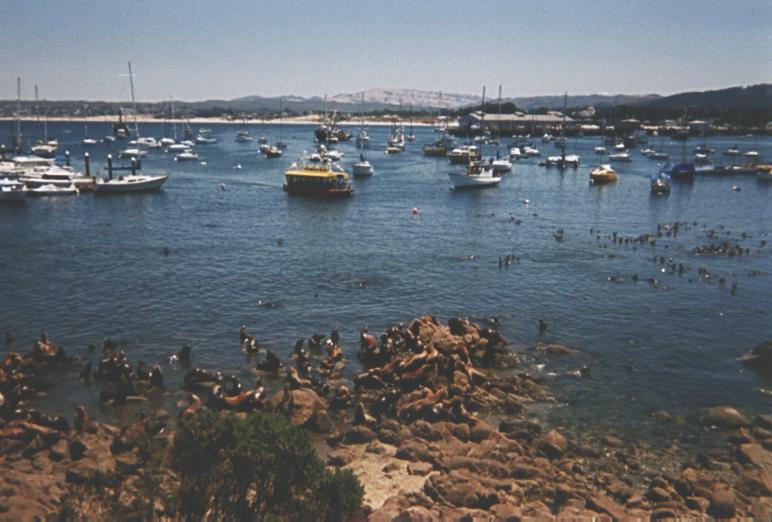
A large group of sea lions warm themselves on the rocks, just yards from downtown Monterey.
A large group of sea lions warm themselves on the rocks, just yards
from downtown Monterey.
![]()
The water of Monterey Bay seemed very clear, like a lake or river.
I could see the rocky bottom, many feet below the surface.
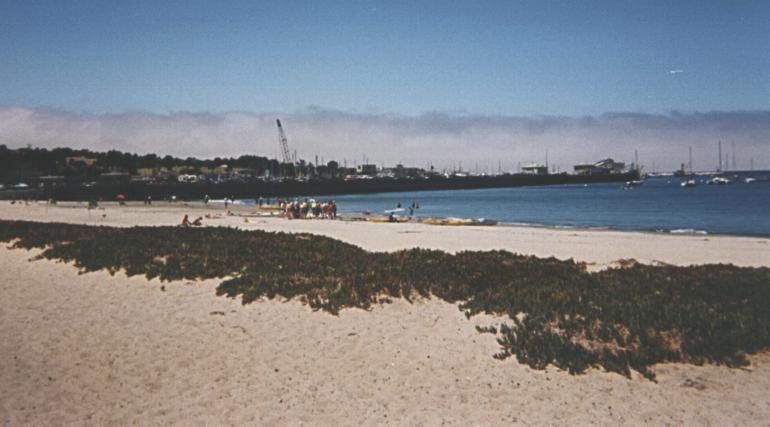
A group of kayakers prepare to set out on Monterey Bay, with the
Monterey waterfront in the background.
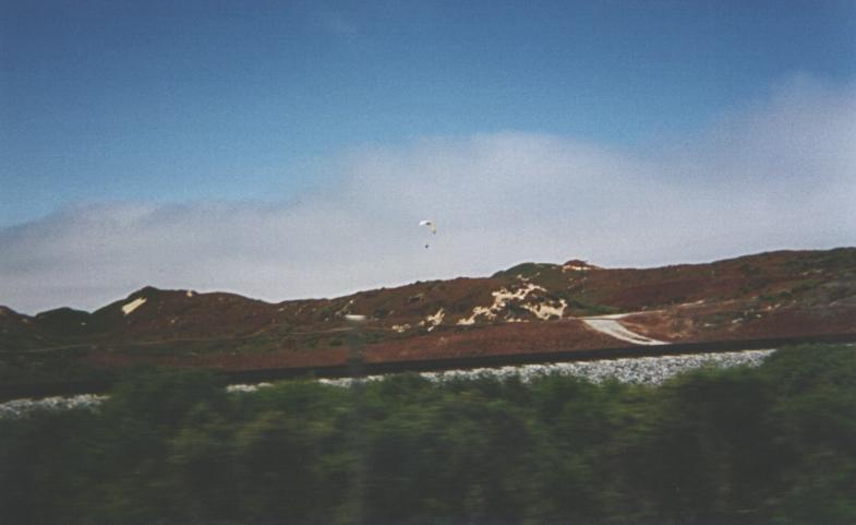
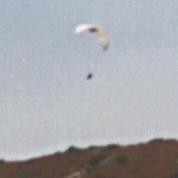
A paraglider(?) sails over the coastal hills between Seaside and
Marina. The bottom half of the picture was obscured by a chain-link
fence, but I took the picture at ~15 mph from my bike, so the fence
is mostly blurred out.
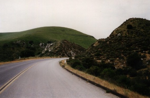
The lower end of Bitterwater Road, just northeast of King City, follows
a creek down the canyon. Here the road cuts through a rock outcropping,
rather than going around it. (the creek is about 30 feet to the left of
the road.) For some reason, this reminded me of the hand-edited cut
in the fractal mountain of the Genesis sequence of Star Trek II....
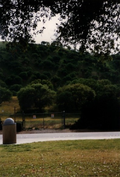
In the southern end of Monterey County, highway 101 cuts through Camp
Roberts, an Army National Guard training base. Highway 101 is the
only non-restricted road through the camp, so bikes are allowed on the
highway. I stopped at a nice, park-like rest stop in the middle of
the base. For some strange reason, the fences had these weird red,
white, & blue signs, which I was too tired to actually read, but I
think they said something like "No trespassing. Wargames in progress..."
:-).