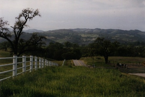
This is River Road, just south of Paso Robles. This picture was taken from the top of a short rolling but steep climb, looking northward. These hills are typical of the terrain between Paso Robles and Atascadero. North of Paso Robles, it's fairly flat. South of Atascadero, the climb is monotonic up to Cuesta Pass (elev. 1521).