| Note: linked images may be large. | |
|---|---|

|
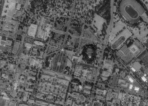
Composite aerial photo of Stanford University. From TerraServer. |

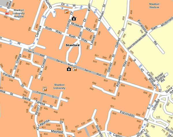
| Stanford road map generated by Maporama. |

|
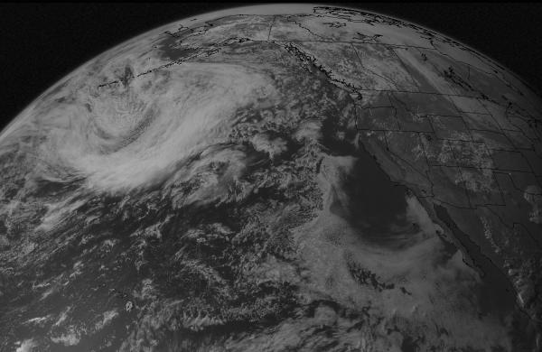
Northern hemisphere viewed from the GOES satellite. Current satellite images from UWisc-Madison. |

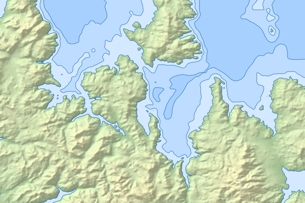
| Shaded relief map from my Visualization class final project. |

|
Aerial photo of WTC ground zero NOAA's Aerial Photo of World Trade Center Image taken by NOAA's Cessna Citation Jet on Sept. 23, 2001 from an altitude of 3,300 feet using a Leica/LH systems RC30 camera 9372x9372 (14.7MB)
|